Skip to content
Sensors
Development and Application of Portable Flood Sensor
Models
HIM model can rapidly forecast flood depths for urban areas
Risk Assessment
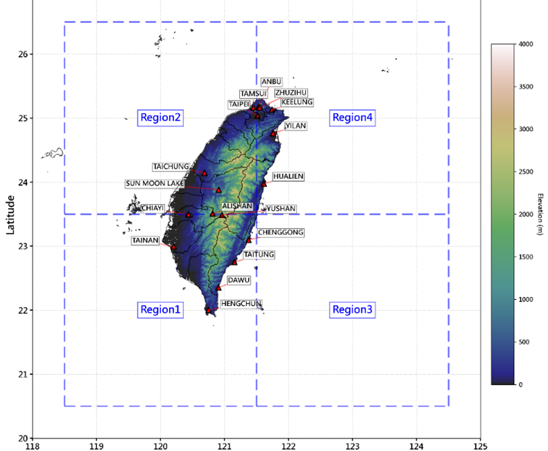
Typhoon Rainfall Prediction in Taiwan under Climate Change Scenarios: Application of a Two-Stage Bayesian Regression Model
Research Outcomes
Research Outcomes
Contact Us
Menu
Sensors
Development and Application of Portable Flood Sensor
Models
HIM model can rapidly forecast flood depths for urban areas
Risk Assessment
Typhoon Rainfall Prediction in Taiwan under Climate Change Scenarios: Application of a Two-Stage Bayesian Regression Model
Research Outcomes
Research Outcomes
Contact Us
Facebook
X-twitter
Instagram
Sensors
Development and Application of Portable Flood Sensor
Models
HIM model can rapidly forecast flood depths for urban areas
Risk Assessment
Typhoon Rainfall Prediction in Taiwan under Climate Change Scenarios: Application of a Two-Stage Bayesian Regression Model
Research Outcomes
Research Outcomes
Contact Us
Menu
Sensors
Development and Application of Portable Flood Sensor
Models
HIM model can rapidly forecast flood depths for urban areas
Risk Assessment
Typhoon Rainfall Prediction in Taiwan under Climate Change Scenarios: Application of a Two-Stage Bayesian Regression Model
Research Outcomes
Research Outcomes
Contact Us
Search
Search
Close this search box.
Risk Assessment
July 29, 2024
Use satellite imagery to estimate inundation depths
Use satellite imagery to estimate inundation depths
其他研究
論文發表
Development of an edge computing-based sensory network to mitigate the impact of natural disasters in pond aquaculture
August 2, 2024
・
2023 GSsympo
應用Google Earth Engine與FwDET-GEE產生淹水地圖-以台南市、嘉義縣及屏東縣為例
August 2, 2024
・
土木水利學刊
Develop a Bottom-Up Flood Early Warning System: A Community Perspective
August 2, 2024
・
2023 ICICE
A Rapid Flood Inundation Model for Urban Flood Analyses
August 2, 2024
・
Methods X
Development of an edge computing-based sensory network to mitigate the impact of natural disasters in pond aquaculture
August 2, 2024
・
2023 GSsympo
研究項目
Models
Sensor
Risk Assessment
Models
Sensor
Risk Assessment
分享文章
Prev
上一篇
Changes in flood risk and contingency strategies at different construction stages
下一篇
Bayesian-based flood damage assessment
Next